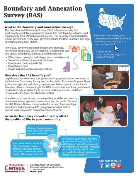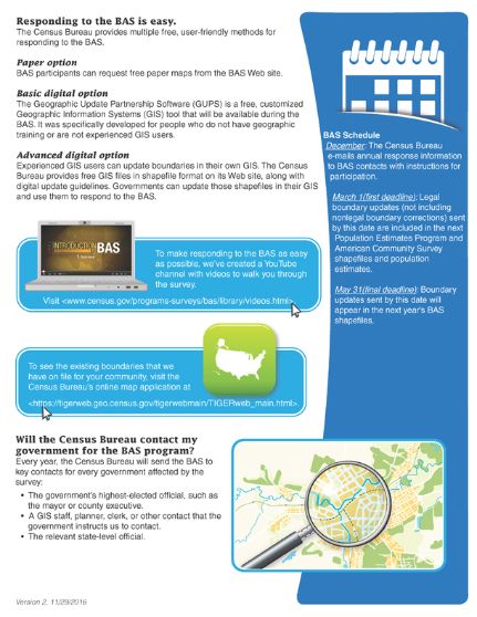
January 25, 2017 – The highest elected official or other administrative staff in your community recently received correspondence from the U.S. Census Bureau related to the Boundary and Annexation Survey (BAS) Program. This is an important opportunity for your community to ensure that its boundaries are correct in the Census Bureau files. The Census Bureau uses the boundary information collected in the BAS to tabulate data for the decennial and economic censuses, and annual estimates and surveys such as the Population Estimates Program and the American Community Survey. More information is available in the flyer pictured below. For assistance in navigating this program or submitting your community’s BAS response, please contact Lisa Miller, Data/GIS Director, (309) 793-6302, ext. 133 or